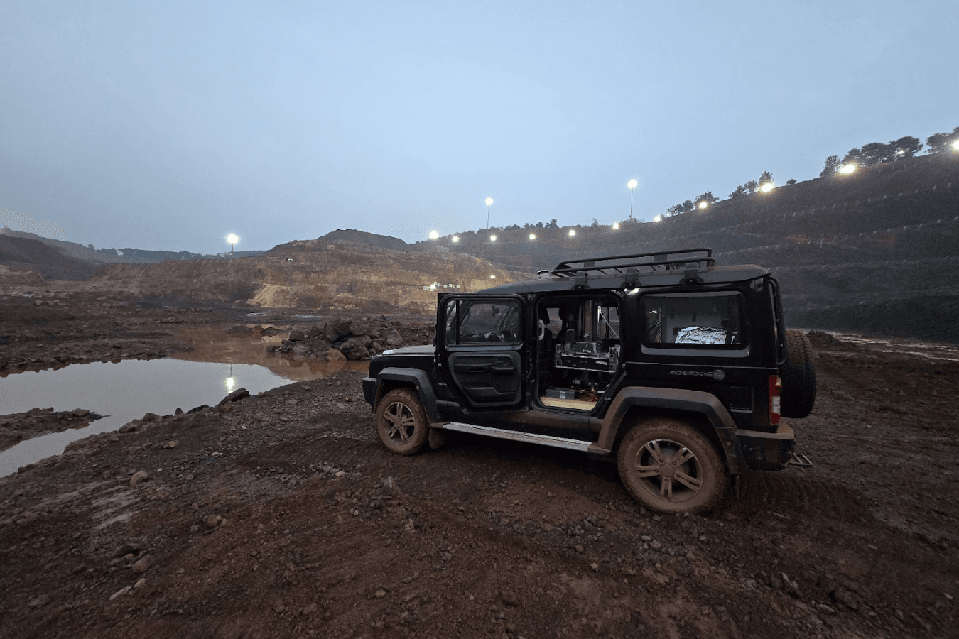
Deployed at an active iron ore mine in India, the company’s exploration engine pairs a quantum gravimeter for field acquisition with a machine-learning inversion tool. It generated an independent 3D density model that estimated contained iron to within 5% of the operator’s actual drilled-out resource. Defining that would require over US$4 – 6 million in drilling expenditure alone. Operating through active pit noise and vibration without interrupting production, the survey resolved structural contacts and mapped target extensions deeper than any hole previously drilled at the site.
From regional reconnaissance to deposit-scale resolution
For decades, gravity surveys have been relegated to basin-scale mapping and regional fault identification – useful for pointing at general prospective corridors but too low-resolution to constrain a deposit geometry. Classical relative gravimeters rely on mechanical springs that drift over the course of a day, requiring frequent, tedious return loops to base stations. They are also sensitive to ground vibration, making high-speed mobile acquisition across rugged or active mine sites impossible.
GRAVIO, the quantum gravimeter, bypasses these mechanical limits by measuring gravity at the atomic scale. Inside the instrument, a cloud of rubidium atoms is laser-cooled to near absolute zero and released into freefall within a vacuum chamber. As the atoms fall, laser pulses measure their precise acceleration against fundamental atomic constants rather than a mechanical component.
The sensor measures absolute gravity, which eliminates base station returns, loop ties, and drift corrections. Coupled with an atomic cloud that is physically isolated from the environment during free-fall, field teams can take dense, high-fidelity readings from a vehicle across uncooperative ground, delivering the spatial data required to invert gravitational anomalies into true 3D deposit geometries.
"We had already proven the platform across terrains in Australia, Europe, and the US, but deploying at an active mine pit in India was designed to push our system to its limits," said Dr. Ravi Kumar, Co-founder and CTO of Atomionics. "Heavy haul trucks were rumbling past, excavators were loading right beside us, and bench vibration was constant. But through all that chaos, seeing GRAVIO deliver clean data confirmed the technology is ready for the most demanding operational environments."
Turning gravity signal into a resource model
A grid of geophysical data only delivers value to an exploration team when it reliably constrains subsurface geometry. Atomionics closes the traditional gap between field acquisition and drill targeting by treating hardware and software as a single engine. Leveraging the high-resolution data unique to GRAVIO, ORE-O’s ML-based inversion transforms quantum gravimetry data into a 3D density volume, resolving complex structural controls and isolating mineralisation from host rock. While conventional surveys deliver unconstrained grids and a recommendation to hire third-party consultants, exploration teams get a resource model ready for drill targeting within weeks of leaving the field.
"An increasingly large portion of time and budget in exploration drilling today is spent playing Battleship on a 1000x1000 board with the same number of ships as the old game’s 10x10. That is where years and millions of dollars disappear into," said Mikhail Zeldovich, Chief Commercial Officer of Atomionics. "We are not asking anyone to stop drilling but we are going to shine a light that exposes the underground in 3D, so explorers can see which few drill holes are worth it."
Seeing through deep cover: Expanding the Early Access Program
While vehicle-mounted surveys are currently operating across Asia, Australia, Europe, and North America, Atomionics is actively developing drone-based acquisition. Airborne sensors will acquire the same high-resolution data without requiring ground access, expanding rapid resource modelling across large greenfield areas.
As outcropping deposits become increasingly rare, the frontier of discovery has moved under deep cover. In major mining jurisdictions like Australia, where an estimated 80% of prospective terranes lie buried beneath transported cover, traditional surface mapping reaches its limits quickly, leaving explorers to rely on high-risk step-out drilling.
"One of the biggest opportunities in mining isn't finding more drilling capital, it's removing the guesswork from target generation," said Harley Paroulakis, Chief Executive Officer of Paspalis, the Darwin-based firm that co-led Atomionics' Pre-Series A. "Atomionics is pioneering quantum gravimetry in the field at scale, equipping explorers with a competitive advantage under cover and changing the economics of discovery in places like Australia and beyond."
Building on its initial site deployments, Atomionics is expanding partner access through its Early Access Program. The initiative is structured for teams managing prospective ground where early drill intercepts show promise, but surrounding structural geometry remains undefined, giving explorers the insight needed before making major drilling commitments on sparse data.
Design partners receive a zero-cost validation survey over target areas with existing drill data to benchmark model fidelity, along with priority access to wide-area airborne drone acquisition as it enters service. Where resulting resource models reveal compelling targets, Atomionics will fund confirmation drilling in exchange for a target-level participating interest.